Two days of canoeing on the Semois
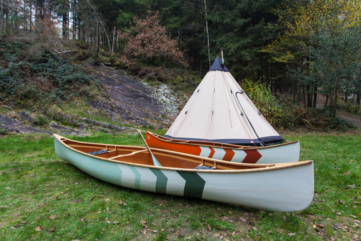
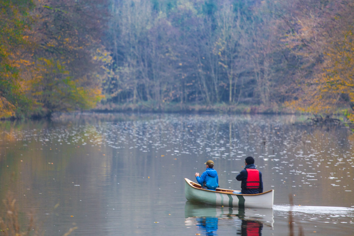
The Semois region, in the southwest of Belgium near the French border, is a strangely underestimated region. During the low season you are often completely alone. In the canoe you paddle through the splendid scenery of the beautiful meanders of the Semois. It is the only Belgian river where you can canoe for hours through nature. Canoeing on the Semois can be quite exciting sometimes with the small dams and the fun rapids you regularly have to negociate. We paddled at the end of November in two stages from Tintigny to Chassepierre. Good for 51 km of canoe fun.
From Tintigny to Chiny - 26 km
This part of the Semois flows for the better part through a vast plain of meadows and small bushes. The current is weak and does not cause technical problems. Here and there are felled trees that sometimes form an obstacle. The last part you paddle through a forest where the current gets stronger. Due to the low water level, it took us about six hours.
You can embark in Tintigny at the bridge on the left bank. The first part (± 11 km), between Tintigny and Termes, is narrow and winding. Just before Termes there is a dam, take the canoe passage in the middle of the dam. The second part leads to Jamoigne. The river retains the same quiet character. In Jamoigne there is a bypass of the dam. The dam is not visible but you keep to the left through a narrow stretch.
Downstream from Jamoigne, the river slows down and broadens at the confluence with the Vierre. The last stretch to Chiny, 7 km further remains calm and slightly less winding. The last 3 km of canoeing on the Semois through the forest. You can camp at the drop-off point at camping “Le Canada” in Chiny.

From Chiny to Chassepierre - 25 km
Board at the campsite upstream from the Saint-Nicolas bridge, “Chiny-beach”. Note, from here some canoeing skills with streaming wateris recommended at high water level. A first dam passage waits downstream of the bridge. On the downstream side of this passage the river immediately takes a rhythm. The Semois makes a large meander that quickly leads to a second dam, with some experience it is easy to take but it can also be bypassed by taking the small arm to the left.
The Semois continues its route through the forest to Lake Lacuisine, which is announced by a strong slowdown of the current. The lake, rather a widening of the river leads to the Lacuisine dam. Take the passage in the middle of the dam. At low tide it is advised to portage fragile boats to avoid damage. The river meanders through the open landscape to Florenville, whose church dominates the valley on the cuesta.
After Florenville, you have to pass an old dam at Martué. Shortly thereafter, the Semois enters the forest for almost 10 kilometers. In this part of the route the flow increases, depending on the water level. The paddling becomes more technical here. At the end of the forest, a last large meander stretches between meadows up to Chassepierre. Immediately after the bridge of Chassepierre you will find a large meadow on the left bank where you can easily park and disembark.


